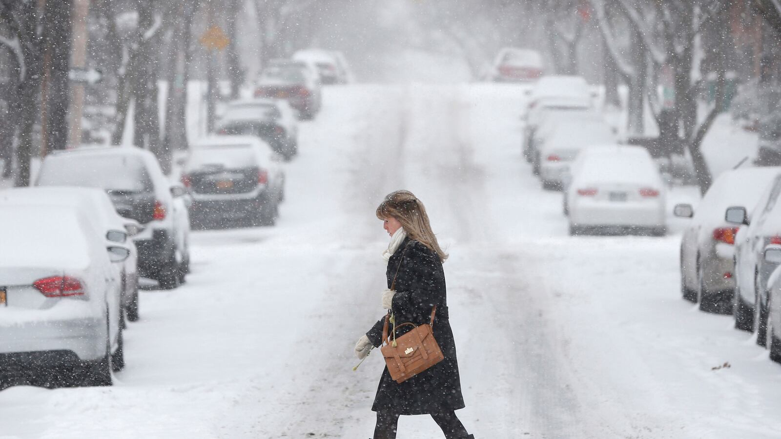
Hold on to your ear muffs, East Coast: A near-perfect mix of snow, wind, and intense cold will bring blizzard conditions to New York City and Boston during the overnight hours on Thursday with a near-record chill to follow.
The impending storm promises to be the biggest blizzard since a storm called Nemo paralyzed the northeast last February, and may work to bring the northeast corridor to a standstill. Late Wednesday, Boston mayor Tom Menino announced a full closure of city schools on Friday, a full 36 hours in advance. That city appears likely to take the brunt of the storm.
Boston Public Schools will be CLOSED FRIDAY, January 3. #bosnow
— Mayor Tom Menino (@mayortommenino) January 1, 2014FlightAware's misery map showed a majority of flights either delayed or cancelled on Wednesday in Chicago, as the storm gained steam. That will likely be the case in the northeast as well on Thursday and Friday.
Blizzard warnings are in effect for Long Island and the Massachusetts coast, just south of Boston, where winds could gust in excess of 50 mph. The National Weather Service defines official blizzard conditions as snow mixed with high winds (greater than 35 mph) that reduces visibility to a quarter mile or less for a period longer than three hours. The New Jersey shore, New York City, and Boston itself should also get in on the blizzard-y action, though perhaps not for the full three hours. (Though, I'm betting Boston will.)
In fact, the snow is already underway in Boston and New York City, with much more to come. With whipping winds and bone-chilling temperatures inbound, apparently snowplows will be used to clear out the New Years confetti in Times Square this year.
What's giving this particular storm its exceptional blizzard-ness?

The mix of high winds and exceptionally cold air means this storm will have a bigger impact than your run-of-the-mill eight to 12 inch snowstorm from New York City to Boston.
Why? Very cold air direct from Siberia could help to boost snow totals by making snowflakes lighter and fluffier, tacking on several more inches to snow totals. Typical snow-to-liquid water ratios are around 10:1. This storm's ratios could be as high as 15 or 20:1, meaning there'll be more bang for the H2O buck.
The close positioning of an intense 1037 millibar high pressure system over Missouri mixed with the very low 988 millibar storm offshore Long Island means winds will be barreling faster than in a typical nor'easter, helping to suck more cold air southwards. For those that failed meteorology 101, the more tightly packed pressure systems are to one another, the faster the atmosphere tries to equalize the discrepancy, thus, strong winds.
Adding to the impact of the coming storm will be its duration. Some spots across the northeast will get snow and high winds off and on for 36 hours or more. That will complicate snow removal and affect multiple commute cycles. In general, the storm will be blasting with peak fury from around 4 pm on Thursday to around 6 am on Friday—with the storm lasting an additional six hours in New England.
In short, millions of people from Philadelphia to New York City to Boston will experience blizzard conditions early Friday morning.
VIEW PHOTOS: The Worst Blizzards in American History

It's a complex forecast, for sure, but here's what to expect:
New Jersey:
Though snow totals aren't expected to break the bank in Jersey (likely less than eight inches), the storm could still hit hard. The reason is winds will be directed squarely at the shore, and could produce coastal flooding in an area still dealing with the aftermath of Superstorm Sandy. The storm surge could be up to a foot or two on top of already high coastal tide cycles on Friday morning, boosted by Wednesday's lingering supermoon.
On the blizzard's heels, the National Weather Service warns "the coldest air in about 5 years will arrive Friday night" with lows in the single digits. It could be enough to break the daily record of 2ºF in Philadelphia on Saturday morning, set way back in 1918.
A last minute upgrade to an official Blizzard Warning for the northern New Jersey shore (Monmouth and Ocean Counties) is still possible, according to a Weather Service technical discussion.
New York City:
Snow totals in New York City will range from six to eight inches, but snow drifts could be up to two feet deep what with all the gusty winds and such.
The National Weather Service's official warning for the city includes the following apocalyptic gem:
ONLY TRAVEL IN AN EMERGENCY. IF YOU MUST TRAVEL...KEEP AN EXTRA FLASHLIGHT...FOOD... AND WATER IN YOUR VEHICLE IN CASE OF AN EMERGENCY.
In your go-kit, you may also want to pack a crowbar to pry away your frozen tears, wept in mourning of that blissful summer picnic you could have taken in Central Park, but decided to watch New Girl on Netflix instead... and also to protect against the zombies, of course.
But seriously, be prepared for a drifty, obscenely cold day on Friday with wind chills below zero Fahrenheit (-20ºC, for you snobby Europeans), "the most frigid conditions the area has experienced in years" according to the National Weather Service.
Long Island:
If you're unlucky enough to live in Long Island, the storm will have its near-worst to throw at you. Blizzard warnings are currently posted for the entire island that's not New York City, where winds will be strong enough to meet official criteria (see above).
Snow totals will be a bit higher out here than in the city, mostly because Long Island will be closer to the center of the action, taking place out in the Atlantic. The storm's center is expected to track a bit further offshore than would be ideal for peak blizzard-ing, which means the most gnarly action will be taking place out over open water. Otherwise, totals might have been boosted by another six inches or so. If only.
Inland New England:
For Connecticut, Rhode Island, and western Massachusetts, snow totals will be greatly enhanced (perhaps, even doubled) by the intensely cold air that's coming your way. Many places could see about a foot of snow, and gusty winds could make travel slow going for much of the day Friday, even after the storm clears out.
But the big story will be the mind-numbing cold. Wind chills will plummet to around -20ºF on Friday for Hartford, Providence, and western Massachusetts. Saturday morning lows will likely be record-breaking, with actual readings of -15ºF not impossible. Bundle up.
Boston:
You've heard of lake-effect snow. Bostonians, meet ocean-effect snow.
In a nutshell, the incoming storm will sweep in air that's so cold (20 to 30 degrees colder than the water temperatures just offshore), that 'heat' rising from the ocean will give just enough of an extra nudge to ascending, snow-laden air as to boost snow totals by a few inches or more. In extreme cases, like on January 14, 1999, the effect could produce nearly an extra foot.
According to Boston's National Weather Service, "there aren't many instances where we see such a setup for ocean enhancement [as this]."
So, who knows what will happen? Barring sudden appearances of fire-breathing dragons sent down to melt all the snow, I'm betting a few spots south of Boston could hit two feet, if all comes together in a worst-case scenario.
In the wee hours of Friday, winds could gust to 50 mph along the Massachusetts coast just south of Boston, good enough to create whiteout conditions–a meteorological rarity where all you see is snow (think: National Geographic in Antarctica).
Blizzard warnings are in effect for the coast just south of Boston, which could get "significant moderate coastal flooding in some spots" along with freezing spray, that is, ocean waves that freeze to the land (and anything–or anyone–close enough to get splashed) upon impact.
Lingering just short of 'all in', the Boston weather service says there are still "a few things missing from this scenario that will prevent this from being a blockbuster storm." Namely, the storm will track a bit further out to sea than would otherwise be ideal, and will also be moving along at quite a decent clip. Despite its slightly less-than-perfect nature, the weather service recommends that Bostonians prepare for a "very significant storm."
Regardless of where you are in the Northeast, due to its exceptional fluffiness, the fresh snow won't at all be good for snowball-making, but it should be great for skiing. Vermont, be ready.
To those expecting snow tonight, if at all possible, you may want to shovel as it falls. It's going to be brutally cold on Friday.


