The past 12 months of labor (scientists’ predictions) have finally resulted in the birth (official declaration) of a child (El Niño). The National Oceanic and Atmospheric Administration (NOAA) announced today that El Niño has arrived, after a year of forecasting its likely development, and that it’s 50 to 60 percent likely to continue into the summer months.
The term El Niño is used to describe a specific state of conditions in the ocean and atmosphere of the tropical Pacific. Essentially, when the sea surface temperatures warm in the central equatorial Pacific, it can set in motion a series of atmospheric impacts. It’s one phase of a cycle of natural variability in the Pacific called El Niño Southern Oscillation (some more basics about ENSO here).

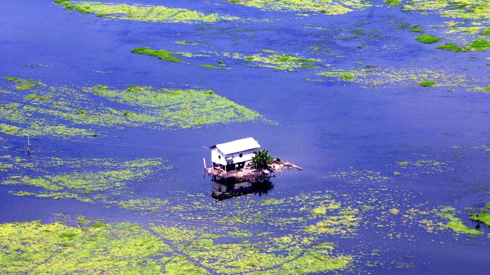
The reason ENSO events make news is that they are correlated with increased likelihood of drier, wetter, warmer, and cooler weather in different areas of the world. Impacts are felt strongest in areas near the tropics, though they occur in mid-latitudes as well. Peru often bears some of the strongest effects, especially flooding. Peruvian fishermen were the first to notice the climate phenomenon, and with the peak of its impacts usually occurring around Christmastime, they consequently named it El Niño.
A widely held view is that El Niño makes extreme weather more frequent. Research has shown this is not necessarily the case on the global scale, but it does make extremes more likely in some specific areas. Because of the known correlations, however, the impacts are also easier to anticipate, and decision makers can use the increased certainty to better prepare, or even take advantage of the advanced knowledge.
In the U.S., the El Niño status is determined by consensus of a team of NOAA scientists who look at the current conditions in the ocean and atmosphere of the tropical Pacific Ocean. They also take into account what computer models predict is likely to happen over the next few months. Although borderline El Niño conditions have persisted since October, with intermittent El Niño conditions last summer, this is the first month that the scientists decided to officially call the El Niño event.
The reason for the change, according to Tony Barnston, chief forecaster at the International Research Institute for Climate and Society (IRI) and member of the ENSO forecast team, is that “Finally the atmosphere has shown signs of participating in the event; it’s just enough to put it over the borderline of calling it a weak El Niño.” (Full disclosure: I hold a position at IRI.) ENSO is a coupled system between the ocean and atmosphere, meaning that they have to engage with each other for the El Niño conditions to strengthen and/or sustain. Sea surface temperatures have been just over the threshold for what’s considered El Niño for several months now, but the atmospheric variables weren’t in place. Now, most notably, tradewinds have become weaker than normal in the central and western equatorial Pacific, said Barnston. The slackening of these tradewinds can lead to more warming of the tropical Pacific Ocean, and the ENSO cycle reinforces itself.
Michelle L‘Heureux, a meteorologist at NOAA’s Climate Prediction Center (CPC) and lead of the ENSO forecast team, offers this explanation for why the advisory was not previously issued, “Snow is snow. ENSO is winds, rain, pressure, surface and subsurface ocean, etc., over a huge expanse of the global tropics (on various timescales). For this reason, it’s tough to pin down whether El Niño is occurring in borderline, weak cases like these. Strong cases are easier because all of the indexes tend to be on the same page.”
The Australian Bureau of Meteorology is showing less confidence that an El Niño event has arrived. They also upgraded their El Niño status this week—from “neutral” to “watch”—but it’s still two levels down in their alert system from an official El Niño declaration.

What does this mean for U.S. weather? Usually the most impact on the U.S. from El Niño comes during the winter months, so we may be on the tail end of seeing any major weather effects.
“The timing of this El Niño as we get into March and April does make any expected impacts much more minimal,” said L‘Heureux. “I can’t rule out that we might see some features that are El Niño-ish over the U.S. in the near term, but in general, we are not expecting significant impacts as we go into the spring/summer. Over the global Tropics, they potentially will feel the effects of this El Niño more, but then again, it appears to be a pretty weak event at this point, so even that is not assured. And of course we’ll have to keep an eye on El Niño for the upcoming hurricane season.”
El Niño tends to be associated with fewer hurricanes in the Atlantic and more frequent hurricane activity in the Pacific. Last year’s Atlantic hurricane activity was below-normal and the lowest it’s been since 1997—a major El Niño year. Although an El Niño was not officially declared last summer, the on-and-off warm sea surface temperatures in the Pacific may have played a role.
El Niño also correlates with more rain across the southern U.S. (one of its strongest signals), cooler temperatures in the Southeast, dry weather in the Pacific Northwest and Ohio Valley, and above-average temperatures in southern Alaska, western Canada, and New England. The seasonal outlook for the southeastern United States does call for increased likelihood of precipitation (especially in Florida) over the next couple of months. This is consistent with El Niño, said Mike Halpert, deputy director of NOAA CPC, in a media teleconference this afternoon, although it’s hard to say whether it can be directly attributed to El Niño.
Over the last year, one of the most discussed potential impacts of this El Niño was the increased likelihood for rain in drought-stricken California. It may, however, be “too little too late” for those hoping for relief, said Halpert, because the rainy season is dying down. Should the El Niño event persist through this year, there may be some hope of rain for California. Halpert noted, though, that models’ abilities to predict ENSO are at their worst this time of year, so much uncertainty remains.
I asked L‘Heureux if the overall U.S. winter weather pattern this year and last (warm in the West, cool in the East) could be related to ENSO. She said NOAA’s ENSO blog will release a post on this topic early next week.
Whether or not it’s related to the recent U.S. weather patterns, this El Niño has been different than most—if not all—preceding El Niño events for which we have data.
Steve Zebiak is a climate scientist at the IRI and part of the first team to use computer models to correctly predict an El Niño event. When asked about the rarity of this event, Zebiak said, “The evolution over the past year does not have any really good analogue over the past several decades. When there was a strong signal of onset early last year, but then a pause during mid year and beyond, I was reminded of the 1986 situation, which was of special interest to me since we had issued our first El Niño prediction for that year. But then, as things failed to develop later last year, the situation obviously departed from 1986 as well.”
Robust data for the many variables associated with ENSO exists for only the last few decades, so it’s hard to say exactly how rare the nature of this event is. Although ENSO is one of the most well-understood sources for natural climate variability, this El Niño event brings to light how much scientists don’t know.
“There are several interesting research questions regarding this situation,” said Zebiak. “First, why did the atmospheric El Niño conditions fail to kick in last year despite quite continuous favorable oceanic conditions over many months? Also, are we seeing some influence of the decadal Pacific pattern…or in fact, a change of El Niño dynamics associated with climate change, at work in this situation? Teasing these things apart would be very useful, and interesting, work.”
I’m sure the grant proposals are already underway.


