
Hurricane Dorian has arrived in the Carolinas, bringing flooding, high winds, and even tornadoes to parts of the states’ coastal regions throughout the end of the week. South Carolina will experience its worst share of the storm on Thursday night, while North Carolina can expect peak impacts on Friday, according to predictions from the National Oceanic and Atmospheric Administration. Dorian is currently rated as a Category 2 hurricane—a significant drop from its Category 5 incarnation that left 60,000 people without food or clean drinking water in the Bahamas—but nonetheless remains a powerful storm. Governors from both states have ordered mandatory evacuations in the coastal regions, displacing about one million people.
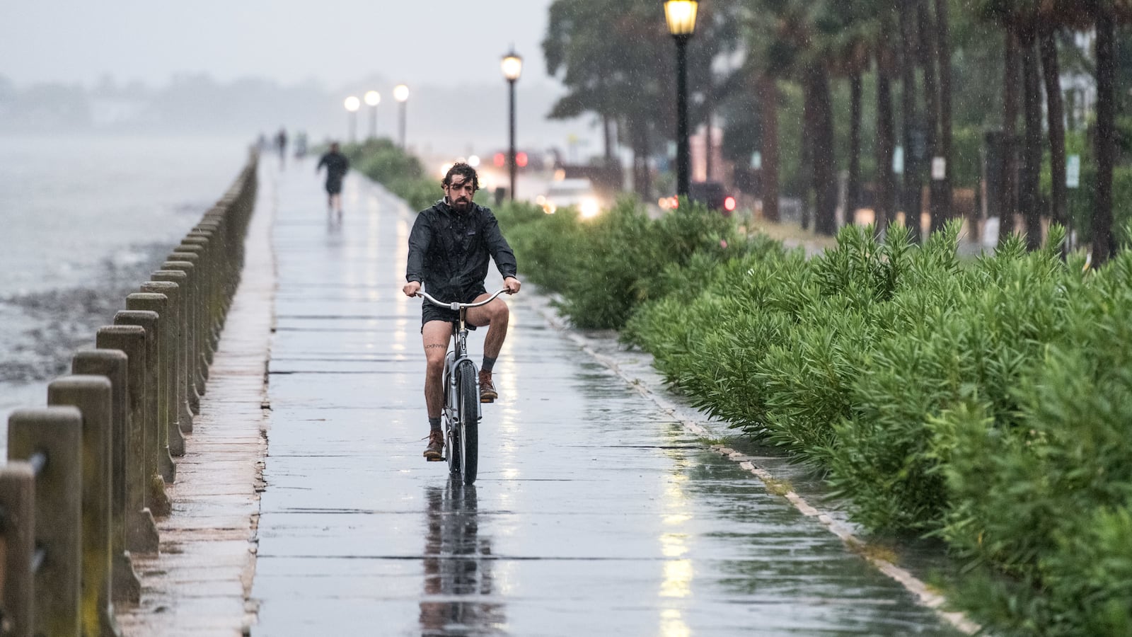
Winds were blowing at a sustained maximum speed of 110 mph by midday Thursday, producing at least two tornadoes, one in each state. Parts of Charleston’s historic downtown has been flooded, as the storm’s eye hovers about 25 miles from Charleston Harbor, and projections show that North Carolina’s Outer Banks, a vulnerable string of islands off the coast, are directly in the storm’s path. While Dorian technically downgraded categories from Thursday morning to midday, the wind’s reach has actually grown, delivering hurricane-force wind to more territories, including parts of Virginia on Thursday night and into Friday. “Get to safety and stay there,” North Carolina Gov. Roy Cooper said. “This won’t be a brush-by.”