
Lost or trying to get from one place to another the fastest and most efficient way? You know what to do: pull up a map app, input start and end locations, and poof! A route appears.
At the Institute of New Imaging Technologies in Castellón, Spain, a team of researchers wanted to add an additional metric for finding the best journey from point A to point B: What are its levels of pollution?
It’s something that could prove to be useful as cities struggle to keep air pollution levels under control and scientists continue to learn how polluted air can affect health. The team wanted to help people avoid exposure, when possible, and skirt particularly polluted areas of the city that they live in.
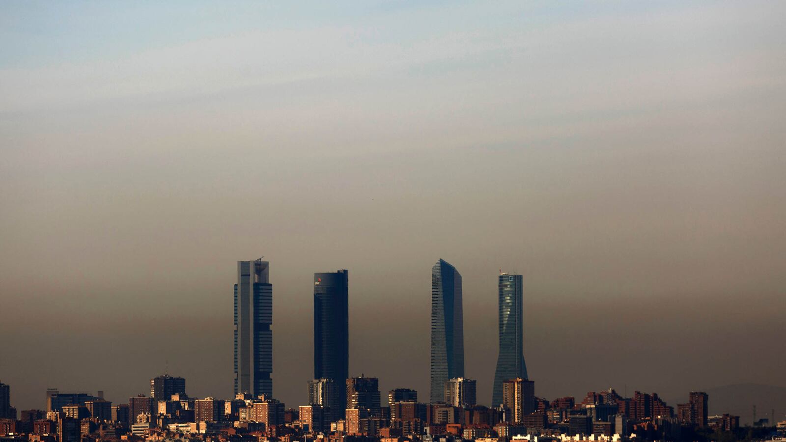
Nearby (and famously polluted) Madrid was their chosen laboratory—they leveraged data already collected and reported by air quality monitors throughout the city to build a mapping application that would calculate the least polluted route from one location to another. They published their model this month in the journal Sensors.
“A shorter distance might be full of pollution from traffic,” Francisco Ramos, lead author on the paper, told the Daily Beast. “We want to create a route that minimizes low quality air.”
Madrid has 24 air quality sensors dispersed through the city, and they each have different pollution monitoring capacities. Ramos and his team created an air quality model specific to the types of data available, integrating nitrous oxide, ozone, and particulate matter (both PM2.5 and PM10) to calculate readings at each sensor. The mapping tool updates in real time, and breaks air quality down to good, acceptable, poor, or very poor.
Air pollution levels vary widely from location to location and at various times of day in every city. Concentrations are typically highest near areas of high traffic and lower in the middle of the day, when fewer cars might be on the road. Commuters are at particular risk for exposure to polluted air, especially if they walk or bike through areas with congested traffic.
Even short periods of time spent in polluted areas are associated with cardiovascular and respiratory health problems, and chronic exposure to dirty air can lead to increased risk of lung disease, stroke, heart attack, and neurological diseases like Alzheimer’s and Parkinson’s.
The mapping tool is a public health measure, the authors said. It can help users minimize time in polluted areas might help protect users against their harmful effects.
Ramos said that their technology could—theoretically—slot into any city.
However, its reliance on existing air pollution monitoring infrastructure is a major roadblock. Castellon, where he lives, only has one air quality sensor in the city, for example. In other cities, the air quality sensors might not have open data. Even in Madrid, Ramos said, some of the sensors did not have location information available. “We had to go to the sensor and geocode the information ourselves,” he said. “In every place, the format and access to the sensors is different.”
But this could change. Efforts to improve air quality sensor technology, and give citizens more information about the levels of pollution they’re exposed to, are underway in cities around the world. Google, for example, is adding sensors to the cars that take photos for Street View in order to track air quality block by block—after a few years of testing, the sensor-equipped cars are on the ground in cities like Houston and Mexico City.
And in Chicago, a project called the Array of Things is dotting sensors throughout the city. The sensors will collect real-time data on a variety of measures, including air pollution, and provide the information to researchers and to the public.
“Our goal is to support a whole range of investigations that require better resolution in terms of the air quality,” Charlie Catlett, the computer scientists leading the project, told The Daily Beast. “Our data is open and free, so people can use their own tools to analyze it.”
The web application for Madrid only launched recently, so the team does not have data on the number of users. Ramos said that he hopes the web app proves useful, and that the team hopes to eventually build a mobile app, as well.
At this point, he thinks the application might be particularly interesting to runners, mapping out their courses. “If they want to run, but don’t want to breathe bad quality air, it could be useful,” he said.
Ramos said he thinks the tool could be beneficial to anyone living in the city. “It’s free and it’s useful.”