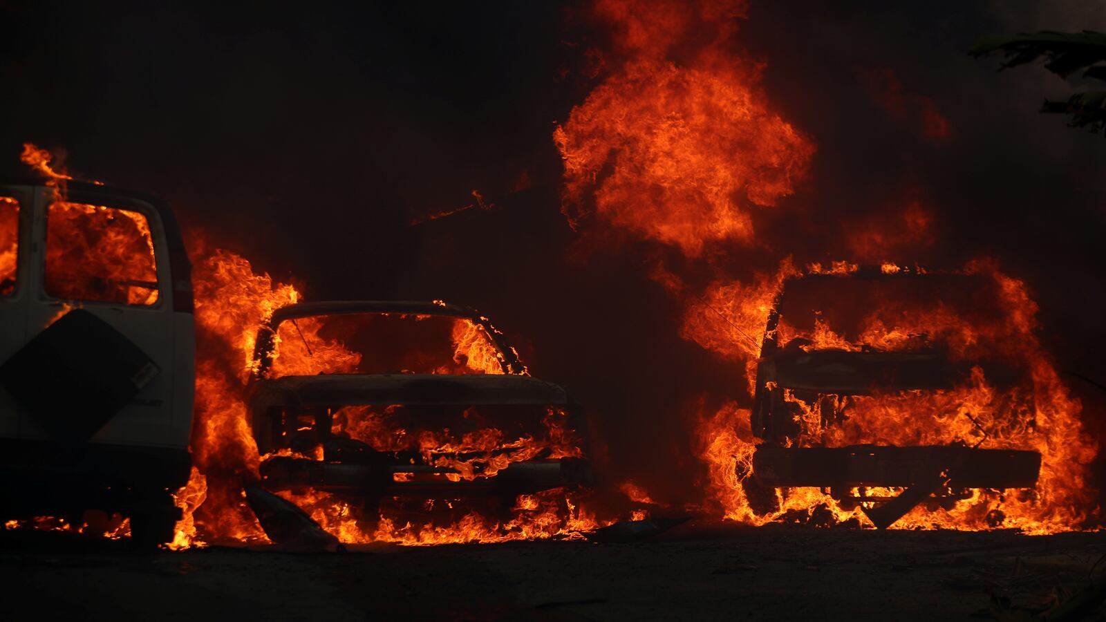
With global warming to blame for a spike in wildfires across the U.S., a private firm has just made it possible to check the level of risk by ZIP Code. First Street Foundation released its searchable database on Monday, and gives a ranking to each home in the U.S. based on past events, current risks, and future projections. A map that shows darkened areas in fire-prone regions also provides a handy tool for those who might not know the risks to their region. “For too long, we have let people live in communities, and even attracted them to join a community, while keeping them in a state of ignorance about the risk that they’re under,” Roy Wright, a former head of risk mitigation at the Federal Emergency Management Agency, who was involved in the project, told The New York Times. The project, he said, is meant to “draw attention to the risk and drive people to take action.”
Read it at The New York Times


